



Corteva announces boards of directors for new companies
Vylor will focus on seeds and genetics; the new Corteva will operate in crop protection
29.06.2026 | 18:11 (UTC -3)
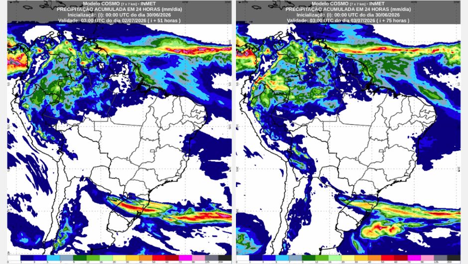
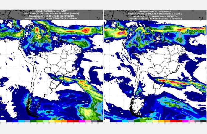
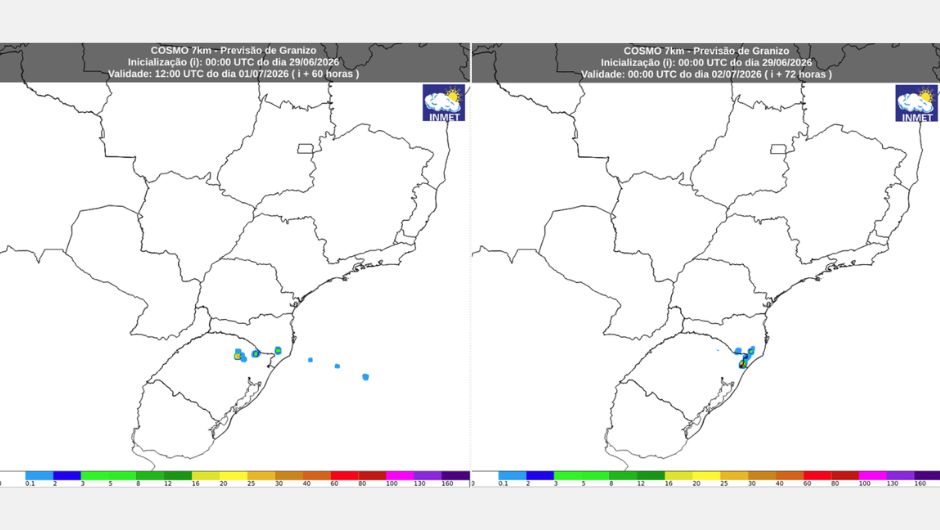
The National Institute of Meteorology (Inmet) indicates that in the coming days, Wednesday (July 1st) and Thursday (July 2nd), storm conditions will continue over areas of the Southern region of Brazil, with the areas most likely to be affected remaining the western and north-central portions of Rio Grande do Sul, and the western and south-central parts of Santa Catarina.
There are conditions for heavy rain, with high accumulations in a short period of time, as well as wind gusts that may exceed 80 km/h in some locations, there will be lightning, and occasional hail cannot be ruled out.
On Wednesday, the atmospheric pattern that promotes instability and conditions for rain in the region remains, as does the heat, high humidity, and high-altitude wind pattern. In the morning, showers are expected over areas of north-central and western Amazonas and Roraima. However, in western and northern Pará and Amapá, as well as the southern part of Amazonas and areas of Acre, isolated showers are expected, mainly from the afternoon onwards. In other areas, drier weather with no rain forecast will persist. Minimum temperatures should be around 14°C to 16°C, predicted for south-central Tocantins. Maximum temperatures, between 36°C and 38°C, expected for northern Tocantins and southern Pará, are accompanied by low minimum humidity, between 20% and 30%.
On Thursday, rain will continue, albeit in localized areas, mainly over parts of the states of Roraima, Amapá, the northern part of Pará, and Amazonas. This rain will occur primarily in the afternoon and should be accompanied by lightning and gusts of wind. Minimum and maximum temperatures will remain the same as Wednesday, with lows around 14°C and 16°C and highs between 36°C and 38°C. The minimum air humidity continues to be a concern for areas of Tocantins and southern Pará.
On Wednesday, between southern Bahia and Rio Grande do Norte and the coast of Maranhão, there is a forecast of light and isolated rain, due to the action of winds coming from the sea and bringing moisture, which, combined with the action of some troughs (low pressure areas) embedded in these winds, will produce light and isolated rain.
On Thursday, rainfall in the Northeast should decrease, as maritime winds will be weaker, reducing the transport of moisture towards the continent. In any case, we should still have some light, brief, and localized rain showers along the coastal strip between Bahia and Rio Grande do Norte. There is also a chance of isolated showers with thunderstorms along the coast of Maranhão from the afternoon onwards.
On Wednesday and Thursday, much of the interior of the region will continue to experience hot and dry weather. As a result, maximum temperatures, between 34°C and 36°C in inland areas of Piauí, should be accompanied by low relative humidity, below 30%. Minimum temperatures for the region are expected to be recorded in south-central Bahia, between 11°C and 13°C.
Between Wednesday and Thursday, the weather will remain stable throughout the Central-West Region, with no rain forecast. Minimum temperatures will be around 11°C in the Federal District, while maximum temperatures may reach 36°C in northern Mato Grosso. Relative humidity will vary between 25% and 90% throughout the period. On Thursday, there will be a temperature drop between southern Mato Grosso and western Mato Grosso do Sul, with a predicted decrease of between 3°C and 5°C.
Between Wednesday and Thursday, the weather will remain stable throughout the Southeast Region, with no rain forecast. Minimum temperatures will range between 8°C and 6°C in southern Minas Gerais, while maximum temperatures will remain around 32°C in western São Paulo. Relative humidity will fluctuate between 30% and 95% throughout the period.
On Wednesday, unstable weather patterns will favor the occurrence of very strong storms between southern Paraná and northern Rio Grande do Sul. Under these conditions, a storm warning is in effect for the region, along with a red alert for accumulated rainfall, with volumes potentially exceeding 60 mm/h or 100 mm/day. Temperatures will range from 0°C in Rio Grande do Sul to 30°C in the far northwest of Paraná.
On Thursday, warnings remain in place for accumulated rainfall between northern Rio Grande do Sul and Santa Catarina, and for heavy rain between northeastern Rio Grande do Sul, Santa Catarina, south-central Paraná, and southern Mato Grosso do Sul. There is also a warning for coastal winds along the coast of Rio Grande do Sul and Santa Catarina. With the advance of cold air, temperatures will decrease, with forecasts of sub-zero values in Rio Grande do Sul and highs of up to 30°C in the far northwest of Paraná.
Receive the latest agriculture news by email


Receive the latest agriculture news by email