



Sicoob leads in rural credit disbursements in Santa Catarina.
Across the entire area served by Sicoob SC/RS, rural credit disbursements totaled R$ 12,6 billion in the 2025/26 harvest.
13.07.2026 | 17:31 (UTC -3)
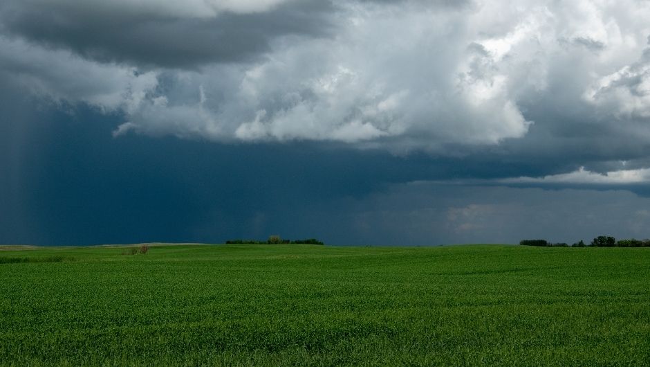
The warming of the waters of the Equatorial Pacific Ocean, characteristic of El Niño, alters atmospheric circulation and influences the climate in various parts of the world. In Brazil, the phenomenon tends to reduce rainfall in the North and Northeast regions, while increasing the frequency and volume of precipitation in the South region.
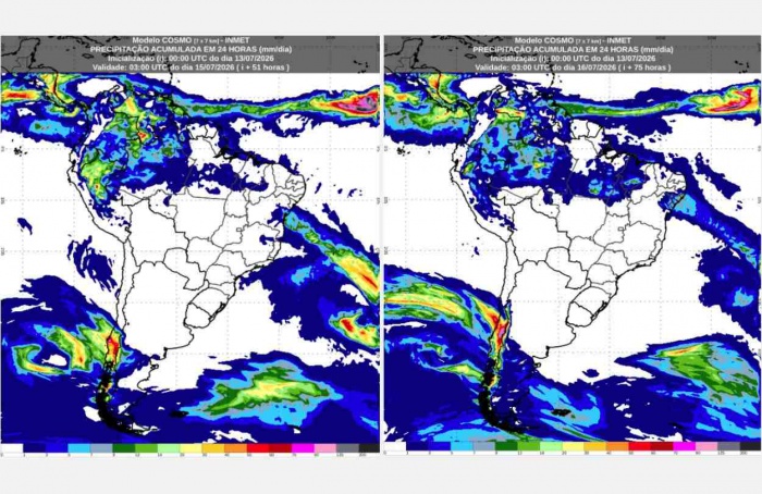
Since the beginning of the year, the National Institute of Meteorology (Inmet) has been continuously monitoring the evolution of El Niño to identify the start of its impacts on Brazilian territory. Last week, the consolidation of atmospheric patterns typical of the phenomenon was observed, which favors rainfall in the Southern Region.
During El Niño episodes, low-level jets, which are wind currents that transport moisture from the tropical region to the Southern Region of Brazil, strengthen. Simultaneously, the presence of low-pressure centers in the coming days will intensify the moisture flow, favoring cloud formation and rainfall. Furthermore, a high-pressure system centered in the Atlantic Ocean and acting over the Central-West and Southeast regions establishes an atmospheric blocking that hinders the advance of transient systems to other regions of the country. As a consequence, moisture remains concentrated over the Southern Region, increasing the persistence and volume of rainfall.
Starting Thursday (July 16th), increased humidity in the lower levels of the atmosphere and the formation of atmospheric instabilities will influence weather conditions in Rio Grande do Sul. Storms are forecast for southeastern Rio Grande do Sul and the Campanhas region, with isolated showers and thunderstorms throughout the day. On Tuesday (July 14th), Inmet issued a yellow-level storm warning (potential danger), valid for Thursday (July 16th), covering these regions.
On Friday (July 17th), conditions favorable to the occurrence of storms become more intense and widespread. With the persistent supply of moisture in the lower layers of the atmosphere and the increase in instability at altitude, showers with thunderstorms are expected from the extreme south to the northwest of Rio Grande do Sul, including the Porto Alegre Metropolitan Region.
On Saturday (July 18th), in addition to the conditions already described, the presence of a low-pressure center associated with the formation of a cold front will intensify instability over the Southern Region. Besides the storms expected in Rio Grande do Sul throughout the day, the gradual advance of this system will favor the occurrence of showers in south-central Santa Catarina starting in the afternoon.
Also on Tuesday (July 14), Inmet issued an orange-level storm warning (danger), valid for Friday (July 17) and Saturday (July 18), covering a large part of Rio Grande do Sul.
Receive the latest agriculture news by email


Receive the latest agriculture news by email